
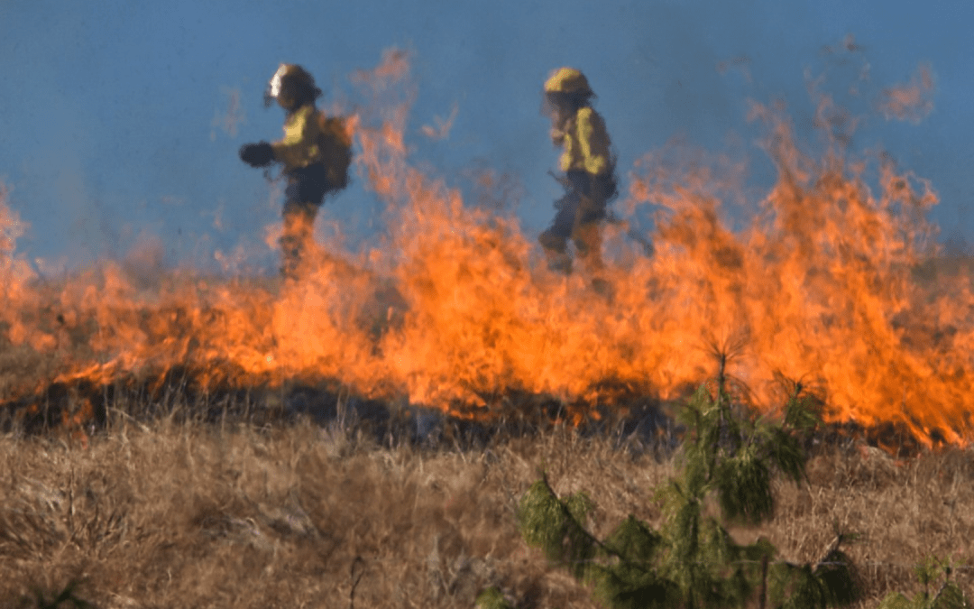
Dangerous wildfires continue to form over parts of Texas, Oklahoma, and Kansas. Current large incidents over these areas are shown in the image below.  IMAGE SOURCE: USDA Forest Service; National Interagency Fire Center
Low relative humidities, an ongoing drought and above normal temperatures have combined to create a “perfect storm’ of fire weather. Dry conditions allow for any small spark to quickly combust into a formidable fire. These dry conditions have persisted, with average departures of 10-20% over the past week. See below:
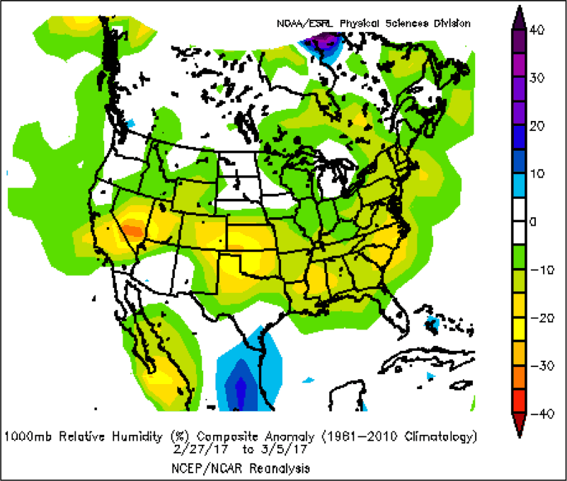
IMAGE SOURCE: NOAA;
Strong winds are not helpful and prevent these fires from being quickly extinguished.The fanning of the flames results in larger fires that are tough to contain.
NBC news was able to capture haunting video of the power and size of these fires. http://www.nbcnews.com/news/us-news/wildfires-kill-least-six-across-texas-oklahoma-kansas-n730306
Spring Relief?
Moving forward into the Spring, more rains could fall over these areas. It is quite unusual to have drought issues with El Nino conditions reigning supreme over La Nina conditions. The composite below shows the sea surface temperatures (SSTs) during years when Spring (April/May) droughts impacted wheat yields in KS, OK, and TX. This is one image from a larger study that we have sent to our clients. Notice the SSTs of drought years are not similar to those of March 2017. If warm SST anomalies persist in the Nino 1+2 region (just West of South America), we expect rainfall to increase in the southern U.S.
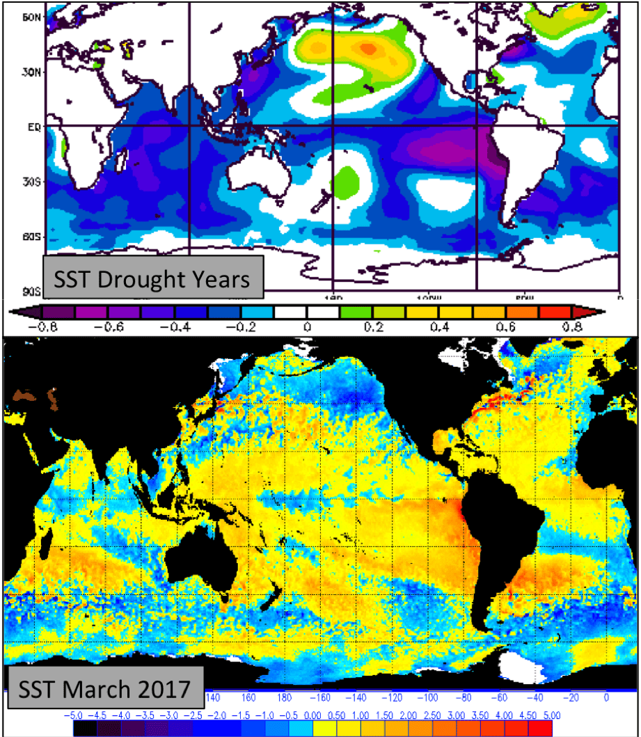
IMAGE NOAA/OSPO; NCEP/NCAR Reanalysis
As wheat comes out of dormancy, the switch to above normal rainfall would be greatly beneficial to the developing crop. Although Spring rainfall may eventually be plentiful, relief for the at-risk fire areas could still be weeks away.
